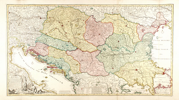
Sclavonien op de kaert: Slavonia through the eyes of Dutch cartographers of the first half of the eighteenth century
https://doi.org/10.32909/kg.21.37.1
Abstract
This study seeks to find out in what ways the Dutch cartographers of the first half of the eighteenth century depicted the region of Slavonia. Although it is generally known that the Low Countries represented the centre of cartography especially in the sixteenth and seventeenth centuries, little attention has been paid to the Dutch cartographic tradition of the eighteenth century in relation to the Croatian lands. Since the Dutch had less practical knowledge about the Southeastern European bordering region of Slavonia, this research reveals how their cartographers adhered to their original cartographic tradition and how they dealt with the deficiency of direct verifiable information, especially regarding significant cartographic changes of the time. This transdisciplinary analysis thus compares selected Dutch and Habsburg maps, the latter being based on more accurate information and even military engineers’ surveys of Slavonia. The further comparison with the French mapping mode, being similarly “distant” and/or politically less interested in Slavonia like the Dutch, aims to offer a wider picture.
Keywords
first half of the 18th century; Low Countries; Dutch cartography; Slavonia; Habsburg Monarchy
Copyright (c) 2022 Maja Perić, Dubravka Mlinarić

This work is licensed under a Creative Commons Attribution-ShareAlike 4.0 International License.

