
Retrieval of Aerosol Optical Depth Using Satellite Data Associated with Ground-based Observations over Urban and Rural Areas
https://doi.org/10.32909/kg.18.32.1
Abstract
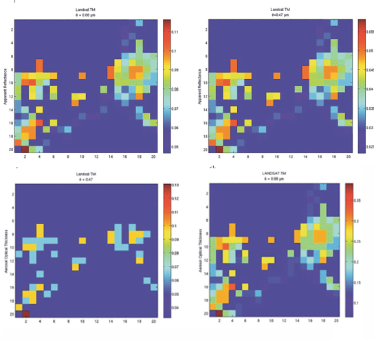
Aerosol optical depth (AOD) can be retrieved accurately with sequential ground-based measurements of direct and diffuse solar radiance. However, spatial coverage and location frequency cause certain limitations. Hence, satellite image data are a proper tool for obtaining aerosol optical depth products with more spatial information and patterns of aerosol distribution. Currently, aerosol remote sensing may enhance our understanding of the optimal approach to AOD retrieval over urban and rural areas, and how it differs due to the characteristics of surface reflectivity. The article deals with the concepts of contrast reduction, and dark target approaches are examined using Landsat imaging and the observation of a sun photometer for integrating aerosol optical depth distribution over the city of Taipei in Taiwan. For areas with bright surfaces, such as urban areas, the above concepts were applied using the dispersion coefficient method with a sun photometer, in order to reduce errors considerably in the product. In contrast, a dark target algorithm with a relationship of surface reflectance between the blue (0.49 μm), red (0.66 μm), and infrared (2.1 μm) spectral bands is suitable for moist soils and vegetation areas. The retrieval of AOD spatial distribution is compared with MODIS AOD products and AERONET to verify the accuracy of the results. The RMSE ranged from 0.2 to 0.4, and about 50% of the data were within expected error margins (EE=± (0.05+0.15 AODsunphotometer).
Keywords
aerosol optical depth; aerosol remote sensing; Taipei; Taiwan
Copyright (c) 2019 Le Thi LE

This work is licensed under a Creative Commons Attribution-ShareAlike 4.0 International License.