Petrinja – Spatial and Historical Development of the Town Derived from Old Graphics, Plans and Maps
Abstract
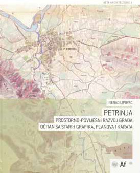
In 2005, the Faculty of Architecture of the University of Zagreb published two books by Prof. Dr. Nenad Lipovac: Petrinja – Urban History of a Croatian Town as Revealed through Archive Graphics and Maps in English and Petrinja – Urbane Geschichte einer kroatischen Stadt auf alten Graphiken, Plänen und Topo-Karten in German. The books were published as a part of the series of scientific monographs Acta architectonica and were produced within the scientific project Basics of Space Evaluation for the General Theory of Spatial and Landscape Planning, which was carried out at the Faculty of Architecture of the University of Zagreb. A review of the books was published in the 5th issue of the journal Cartography and Geoinformation in 2006.
Copyright (c) 2013 Ivka Kljajić

This work is licensed under a Creative Commons Attribution-ShareAlike 4.0 International License.