
Original Scientific Paper
Development of the Web-based State Border Geoinformation System of the Republic of Croatia (SBGiS)
https://doi.org/10.32909/kg.21.si.10
Abstract
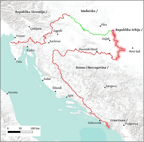
The development of the State Border Geoinformation System of the Republic of Croatia (SBGiS), based on open-source technologies, has facilitated and accelerated the storage, processing, handling, analysis and visualization of large amounts of spatial data used in open border issues, as well as standard affairs on maintaining the regulated state border of the Republic of Croatia. Centralized data storage and their spatial visualization through an interactive map allows citizens to see the situation at the state border in real time, which significantly increases the safety of movement in the border zone, but also aids in the prevention of state border breaches. The SBGiS is the only system that has been established not only for maintaining a regulated state border but also for resolving border disputes and delimitation procedures. At the end of the paper, a proposal for future system upgrades is given.
Keywords
State Border Geoinformation System (SBGiS); State Border Data; WebGIS; Open-source Software
Copyright (c) 2023 Martina Triplat Horvat, Ilija Grgić, Dalibor Kušić

This work is licensed under a Creative Commons Attribution-ShareAlike 4.0 International License.