
Original Scientific Paper
Mathematical Elements of Orienteering Maps
https://doi.org/10.32909/kg.21.si.9
Abstract
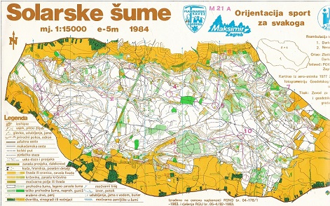
Mathematical elements of maps, in addition to the methods of presenting content with cartographic symbols and the criteria of cartographic generalization, are the most important elements of modern ground plan view maps. At the same time, on maps for orienteering disciplines, which are the most internationally unified maps in the world, the mathematical basis is not defined in very detailed specifications. In this paper, we describe the background and reasons for the apparent insignificance of mathematical content in orienteering maps, and on the example of the analysis of selected maps of Croatia and Slovenia, we determine in which period and to what extent mathematical elements were present on the maps.
Keywords
orienteering maps; mathematical elements; Croatia; Slovenia; magnetic north
Copyright (c) 2023 Dušan Petrovič

This work is licensed under a Creative Commons Attribution-ShareAlike 4.0 International License.