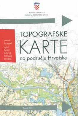
Topographic Maps on the Territory of Croatia Editor: Stanislav Frangeš
Miljenko Lapaine, Nedjeljko Frančula
Abstract
Promotion of the monograph Topographic Maps on the Territory of Croatiawas organized by the Croatian Cartographic Society and held at the Croatian State Archive in Zagreb on April 18, 2012. At the beginning of the promotion, guests were welcomed by Dr. Stjepan Ćosić, Director of the Croatian State Archive. The monograph was then represented by Prof. Dr. Stanislav Frangeš, the book's editor, Prof. Dr. Miljenko Lapaine, the book's reviewer, and MSc Ivan Landek, one of the book's authors.
Copyright (c) 2013 Miljenko Lapaine, Nedjeljko Frančula

This work is licensed under a
Creative Commons Attribution-ShareAlike 4.0 International License.
The Kartografija i Geoinformacije (Cartography and Geoinformation) journal publishes scientific and professional papers from cartography and other fields (geography, geodesy, geology, forestry, agronomy, history, architecture, pedagogy ...) if they are related to cartography and geoinformation.
We invite authors of papers or contributions to submit text in English (and Croatian if possible) using this site.
The Croatian Cartographic Society (CCS) does not necessarily endorse any opinions or recommendations made in article, review or extract contained in this journal nor do they necessarily represent CCS policy.
© CCS, www.kartografija.hr. Journal content is published under CC BY-SA licence.