Mapire
Abstract
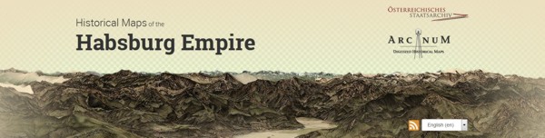
Mapire enables one to navigate historical maps of the Habsburg Empire. The name Mapire came from the words Map and Empire, implying the very essence of the portal. The main goal of the portal, as its creators say, is to create an international collaboration to make this content available to the world in a common interface using latest GIS features. Mapire has been created in collaboration between the following institutes:
• Austrian State Archives as the owner of the first and second military surveys
• Hungarian National Archives as the owner of Hungarian cadastral maps
• Croatian State Archives as the owner of Croatian cadastral maps
• Hungarian War Archives as the owner of the third military survey
• City Archives of Budapest as the owner of the maps of Budapest
• Arcanum Adatbázis Kft as the developer and operator of the project
• Department of Geophysics and Space Science, ELTE as the scientific background
Keywords
historical maps, Habsburg Empire
Copyright (c) 2015 Ivan Majić

This work is licensed under a Creative Commons Attribution-ShareAlike 4.0 International License.