250 Years of the State Survey
Abstract
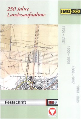
The first topographic survey of the Habsburg Monarchy was decreed by Maria Theresa 250 years ago, on May 13, 1764. A conference was held on the occasion of the anniversary by the Austrian State Geodetic Administration (BEV – Bundesamt für Eich- und Vermessungswesen) and the Institute for Military Geosciences (IMG – Institut für Militärisches Geowesen) in Vienna on May 13 and 14, 2014. The conference was sort of a time travel through Austrian state surveys.
Historical development and methods of the first three state surveys (18th and 19th century) were presented on the first conference day. Lectures were held by representatives of Austrian scientific institutions and new countries of the Monarchy. The second conference day was dedicated to the 4th state survey (20th century) and its impact on civilian and military application and economy.
Historical development and methods of the first three state surveys (18th and 19th century) were presented on the first conference day. Lectures were held by representatives of Austrian scientific institutions and new countries of the Monarchy. The second conference day was dedicated to the 4th state survey (20th century) and its impact on civilian and military application and economy.
Keywords
topographic survey, Austria
Copyright (c) 2014 Ivana Wechselberger, Mirjanka Lechthaler

This work is licensed under a Creative Commons Attribution-ShareAlike 4.0 International License.