Analysis and Comaprison of Three Tourist-Hiking Maps - Island of Vis, Nature Park Biokovo and Orjen-Sniježnica
Abstract
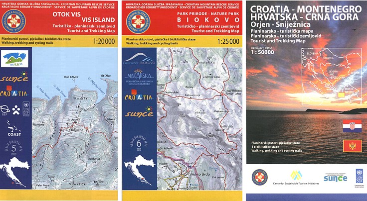
The Croatian Mountain Rescue Service (CMRS) donated maps it has published so far to the Croatian Cartographic Society (CCS). Considering I had already reviewed some maps published by CMRS, my colleague Prof. Dr. Miljenko Lapaine, president of CCS, suggested me to write a review of these maps. I analysed three tourist-hiking maps in detail: Island of Vis, Biokovo and Orjen-Sniježnica.
Basic elements of the three maps were analysed, i.e.: title with subtitles and the title page, represented area, field and orientation, content, scale and format, projection data, legend, map graphics, generalization, author (production) and production date, publisher and circulation, production and printing type, sources and other secondary map elements.
Copyright (c) 2014 Stanislav Frangeš

This work is licensed under a Creative Commons Attribution-ShareAlike 4.0 International License.