Use of Multicriteria Valuation of Spatial Units in a System of Mass Real Estate Valuation
Abstract
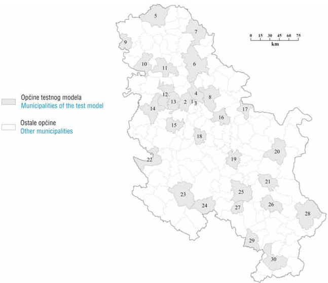
A model of mass valuation at the national level must be functional, practically applicable, consistent and adaptable to actual conditions and real estate market trends. A consideration of the influence of location on real estate value in a spatial unit, and a description of spatial units with a sufficient number of attributes to determine a connection between the value of these attributes and the average price of real estate in a spatial unit, are important tasks in modelling a system of mass real estate valuation. This paper, based on a test implementation of mass real estate valuation for an area covering a number of municipalities in the Republic of Serbia, offers conclusions on the suitability of the use of a mass valuation method grounded in the principles of logical aggregation and case based reasoning. The values of location characteristics, or factors of spatial unit valuation, were determined in spatial analyses employing GIS, according to an established system of multicriteria valuation. This approach ensures that a model-defined value is not stored as offline data, but that each time such data is needed, it can be determined following the proposed methodology, based on actual, updated data from the databases of official spatial data registries. Prior to this, it is necessary to meet all the required prerequisites, which include the distributed databases of official real estate data registries and other factors needed in the mass valuation procedure.
Keywords: real estate valuation; spatial units; multicriteria analysis
Copyright (c) 2013 Miroslav Kuburić, Hrvoje Tomić, Siniša Mastelić Ivić

This work is licensed under a Creative Commons Attribution-ShareAlike 4.0 International License.