Production of a Porosity Map by Kriging in Sandstone Reservoirs, Case Study from the Sava Depression
Abstract
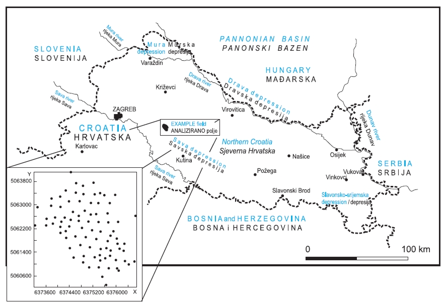
Variogram analyses and usages of geostatistical interpolations have been standard analytical tools in Croatian geology in the last five years. Such analyses have especially been applied in the mapping of petroleum geological data. In this paper, spatial modelling of porosity data and, consequently, kriging mapping are described for a relatively large dataset obtained at an oil field located in the Croatian part of Pannonian basin (Sava depression). Analyzed datasets included porosity values measured in a sandstone reservoir of Pannonian age. The original dataset can be considered as a rare extensive porosity set available for Croatian hydrocarbon reservoirs. It made possible very reliable semivariogram modelling and kriging interpolation of porosity. The obtained results point out kriging as the most appropriate interpolation approach for porosity, but also for other geological data in sandstone reservoirs of Miocene age.
Keywords
porosity; semivariogram; kriging; oil reservoir; Sava depression; Croatia
Copyright (c) 2008 Tomislav Malvić

This work is licensed under a Creative Commons Attribution-ShareAlike 4.0 International License.
