Cartography of Stari Grad on Hvar
Abstract
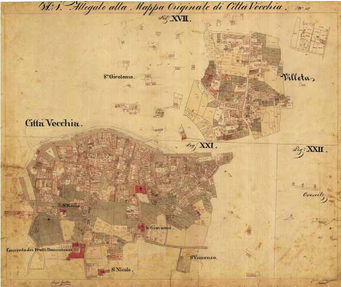
This research and article deal with cartography of the area of Stari Grad, one of the most significant historical centres on the island Hvar and beyond. Cartography showing the narrow area of Stari Grad was gathered and recorded through field research and visits to relevant institutions. The materials collected include the first map of Stari Grad's port from the 18th century, old maps from the Austro-Hungarian Monarchy and contemporary city maps mostly used for tourism purposes. This is the first time that the basic information about the available and accessible maps of Stari Grad were published.
Keywords
Stari Grad; Hvar; maps; graphical representation
Full Text:
PDFCopyright (c) 2013 Baldo Stančić, Miljenko Lapaine

This work is licensed under a Creative Commons Attribution-ShareAlike 4.0 International License.