Overview of Town Plans Published by Tourist Offices in the Adriatic
Dražen Tutić, Stanislav Frangeš
Abstract
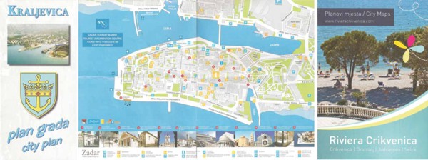
Countless Croatian and foreign tourists visit the Adriatic Sea and settlements along its coast each year. Some of them come to a town or a city for the first time, so they visit a tourist office. Most tourist offices provide complimentary maps of the visited area (town and city plans, maps of surrounding areas, hiking maps, maps for bicycle tours, etc.). Such maps should serve users and help them in various activities and answer a number of questions about space and spatial relations.
Copyright (c) 2013 Dražen Tutić, Stanislav Frangeš

This work is licensed under a
Creative Commons Attribution-ShareAlike 4.0 International License.
The Kartografija i Geoinformacije (Cartography and Geoinformation) journal publishes scientific and professional papers from cartography and other fields (geography, geodesy, geology, forestry, agronomy, history, architecture, pedagogy ...) if they are related to cartography and geoinformation.
We invite authors of papers or contributions to submit text in English (and Croatian if possible) using this site.
The Croatian Cartographic Society (CCS) does not necessarily endorse any opinions or recommendations made in article, review or extract contained in this journal nor do they necessarily represent CCS policy.
© CCS, www.kartografija.hr. Journal content is published under CC BY-SA licence.