Contributions to Applied Cartography
Abstract
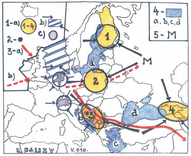
According to the increasing awareness of the importance, advantagesand feasibility of representing/visualizing spatial relations and spatial content through corresponding cartography –maps are becoming increasingly more frequent and elaborate when one needs to represent some aspect of reality from various standpoints: economical, natural scientific or politological. Some contents practically impose the need for applied cartography which is especially true of international-political, military, geopolitical and transport issues. Therefore, mass communication media have been increasingly accepting and adopting specific cartography as significant content which successfully compete with the importance of the text itself – this is the case everywhere, including in Croatia. The French geographical-political-cartographic school is the model and exceptional accomplishment. It also has predecessors in the German/Nazi geopolitical school from the first half of the 20th century.
Copyright (c) 2013 Radovan Pavić

This work is licensed under a Creative Commons Attribution-ShareAlike 4.0 International License.