The Historical Development of Cartography in Albania
https://doi.org/10.32909/kg.19.34.1
Abstract
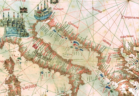
The aim of this expert paper is to show development in the area of cartography in chronological order from the time when Albania first appeared on maps by well-known Venetian cartographers (with toponyms in Albanian). An overview of various topographic maps and maritime charts is presented, along with the relevant local and international institutions whose main activities were cartography and geoinformation during different periods. An expert opinion is expressed on the current state of cartographic and geoinformation data as a scientific discipline, with a special emphasis on alignment with international standards.
Keywords
Albania; cartography; map; GIS; cartographic institute; mapping projection; topographic map; maritime chart; topographic institue; ALUIZNI; INSPIRE; National Geoportal; ASIG
Copyright (c) 2020 Fadil Shehu, Ferat Shala

This work is licensed under a Creative Commons Attribution-ShareAlike 4.0 International License.