WebGen-WPS – Web service for cartographic generalization
Abstract
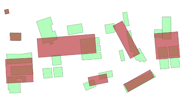
The development of web services technology and standardization of spatial data usage have initiated the process of automatization of cartographic generalization on the Internet.
There are two ways by which web supported cartographic generalization can be accomplished (Foerster 2010):
1. Limited control of data representation (selection of layers and symbolization)
2. Complete control of the generalization process (usage of all generalization procedures with selection of specific parameters)
The first option is for users that are amateurs in cartographic generalization, and it enables them to have limited control over the shaping of map content. The second option is intended to be used by experts in cartographic generalization which would support development of automated systems for cartographic generalization.
Keywords
Copyright (c) 2013 Kristina Jezdić, Dražen Tutić

This work is licensed under a Creative Commons Attribution-ShareAlike 4.0 International License.