Symbolism and Propaganda Versus Cartographic Scientific Consistency – Three Maps by Pierre Duval, Stjepan Glavač and Johann Christoph Weigl
https://doi.org/10.32909/kg.19.33.2
Abstract
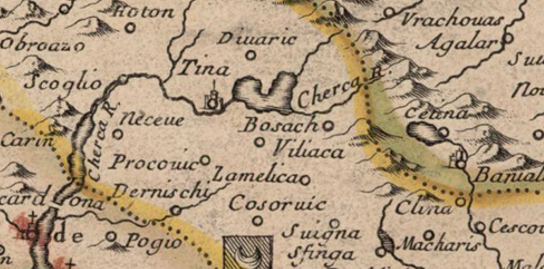
The aim of this paper, based on three maps of the Croatian lands by Stjepan Glavač, Pierre Duval and Johann Christoph Weigl, is to show or rather prove the presence of propaganda messages in cartography as a scientific discipline. The maps were chosen because in research conducted to date, no propaganda elements conveying hidden messages in the area they depict have been identified. The maps reveal elements of propaganda which will be critically interpreted. In the conclusion, a short review of the paper is presented with all the maps and a personal opinion about the maps as propaganda media of that time.
Keywords
cartography; cartographic sources; propaganda; Croatian modern history; Croatian lands in the modern period; Croatian lands in the 16th century
Copyright (c) 2020 Sven Lončar

This work is licensed under a Creative Commons Attribution-ShareAlike 4.0 International License.