Open Questions on Writing and the Use of Croatian Exonyms on Maps
https://doi.org/10.32909/kg.18.31.2
Abstract
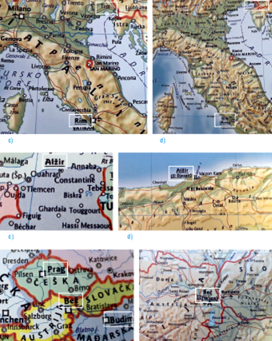
Croatian exonyms are Croatian adapted names of foreign geographical features that differ from their original names (endonyms). The writing, use, and treatment of exonyms are not always unambiguous, unique, systematic, and consistent. Thus, authors and editors of maps and atlases frequently face the question of should they choose an exonym (and which one), an endonym, or both. They resolve them by entering various exonym forms, using both forms of names (exonyms and endonyms), or omitting exonyms even when they exist. This situation is a direct outcome of having multiple names and of the different use of exonyms. Double naming can be the result of the complex status of toponyms in multilingual areas and of a vague boundary between current and historical exonyms. Until recently, the problems of writing and the use of exonyms were usually simply stated and confirmed by scarce examples. The purpose of this article is to stress out the need to apply a systematic approach to exonym research methodology. The aim is to highlight the open questions on writing and the use of Croatian exonyms by analysing general and school world atlases published in the last forty years, and to confirm them with representative examples. As the analysis indicates, writing and the use of many exonyms in our world atlases is quite chaotic. This is a consequence of having unstandardized exonyms and overly general orthographic rules and toponymic guidelines for exonyms. All mentioned should be in the focus of a national interdisciplinary authority that would carry out the standardization of all Croatian geographical names as well as exonyms.
Keywords
egzonimi; geografska imena; atlasi svijeta; standardizacija geografskih imena
Copyright (c) 2019 Ivana Crljenko

This work is licensed under a Creative Commons Attribution-ShareAlike 4.0 International License.