2nd Geomagnetic Information Renewal Cycle in the Republic of Croatia – First Results
https://doi.org/10.32909/kg.17.30.1
Abstract
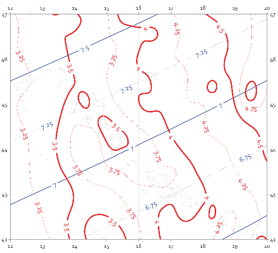
The 2nd Geomagnetic Information Renewal Cycle started in 2017, pursuant to a request from the State Geodetic Administration and Ministry of Defence to ensure actual declination and its annual variation across the territory of Republic of Croatia. A test survey was performed at POKUpsko as part of the project in 2017. The PRM1 Primary Repeat Station had been destroyed, and the survey performed at a secondary location established in 2011, which subsequently became the primary location, known as PRM2. In this paper, the results of 2017 measurements reductions are presented, along with reductions in PRM1 and PRM2 measurements in 2011, and differences between the PRM1 and PRM2 locations, which are necessary to maintain the continuity of measurements at Pokupsko.
Keywords
Copyright (c) 2018 Mario Brkić, Marko Pavasović, Matej Varga, Marijan Grgić

This work is licensed under a Creative Commons Attribution-ShareAlike 4.0 International License.

