A Contribution to Measuring and Visualizing Regional Disparities in the Czech Republic
Abstract
The identification and analysis of regional disparities are increasingly important issues for a better understanding of regions and their socioeconomic development, and the subsequent application of regional policies. The objective assessment of regional disparities is an important step in directing regional policies by individual countries and supranational institutions such as the European Union.
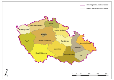
The paper deals with selected indicators of regional socio-economic disparities in the territory of the Czech Republic that were observed, visualized and evaluated to contribute to measuring regional disparities. The indicators were divided into three categories - demographic, economic and infrastructural - and defined and analyzed at the level of the Czech NUTS3 regions (counties), with the data organized as a geodatabase within ArcGIS software. A synthetic index was used to define and analyze the disparities within the three categories. The values for the indicators, along with the results of the regional evaluation, were presented cartographically as a series of cartograms, and the analysis and cartographic visualizations were used to reach conclusions about existing disparities.
Keywords
Copyright (c) 2018 Marek Sova

This work is licensed under a Creative Commons Attribution-ShareAlike 4.0 International License.