Perception of the Spatial Extent of the Zagora Region in Selected Cartographic Sources
Abstract
The dynamism of sociogeographic and historical processes and trends represents a key factor in the creation and uniformity of regions, and in their image and perception in the eyes of the public and scholars. As a basic geographic concept, a region is the result of all preceding and actual spatial relations arising from natural conditions, and those arising from political, administrative and economic changes. Non-formal regions such as Dalmatinska zagora, which exists solely in the consciousness of its inhabitants, owe their traditional presence in spatial perceptions and identities to a combination of all these factors. The uniformity and identity of such a region are articulated through
explicit and implicit symbols, definitions and terms, and the most important among these is a geographic name or toponym.
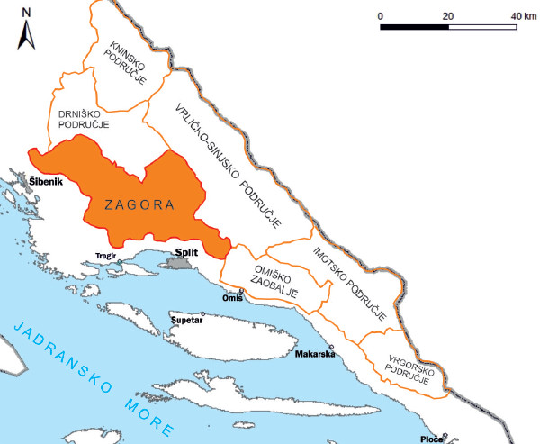
As an indicator of basic spatial relations at the time of its making, a map can be used as a source of information on spatial identities, their extent and distribution. In that sense, the presence and positioning of a toponym are the keys to discovering facts about the territoriality and contemporary perceptions of a region that it denotes. The aim of this paper is to monitor changes in the dynamics of perception of Zagora, a region in the Dalmatian hinterland, by detecting the positioning of the toponym Zagora and its variants on several maps created at different periods in history.
explicit and implicit symbols, definitions and terms, and the most important among these is a geographic name or toponym.
As an indicator of basic spatial relations at the time of its making, a map can be used as a source of information on spatial identities, their extent and distribution. In that sense, the presence and positioning of a toponym are the keys to discovering facts about the territoriality and contemporary perceptions of a region that it denotes. The aim of this paper is to monitor changes in the dynamics of perception of Zagora, a region in the Dalmatian hinterland, by detecting the positioning of the toponym Zagora and its variants on several maps created at different periods in history.
Keywords
Zagora, region, perception, spatial extent, toponym, map
Copyright (c) 2015 Branimir Vukosav

This work is licensed under a Creative Commons Attribution-ShareAlike 4.0 International License.