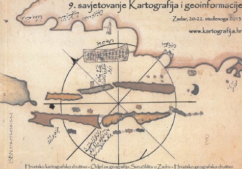
9th Cartography and Geoinformation Conference with World GIS Day Zadar, November 20 – 22, 2013
Abstract
The 9th Cartography and Geoinformation Conference with World GIS Day was organized in Zadar from November 20 to 22, 2013. By organizing the conference, the Croatian Cartographic Society in collaboration with the Department of Geography of the University of Zadar and the Croatian Geographic Society wanted to contribute to the development of geoinformatics, cartography, geography and related fields, with special emphasis on GIS and spatial data infrastructure. A wide range of topics and renowned invited lecturers guaranteed interesting lectures and a contemporary approach.
The World GIS Day is an international forum of GIS users and successful GIS technologies. It was first organized in 1999 (http://www.gisday.com/about.html). More than 950 events were registered on the occasion of the World GIS Day in 2012. This year the first day of the conference, November 20 was reserved for the GIS Day.
Copyright (c) 2014 Miljenko Lapaine

This work is licensed under a Creative Commons Attribution-ShareAlike 4.0 International License.
