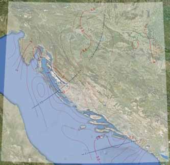
Geomagnetic Information Model for the Year 2013
Abstract
The finalization of the survey of the Basic Geomagnetic Network of the Republic of Croatia (BGNRC) and completion of geomagnetic information models for the Institute for Research and Development of Defence Systems of the Ministry of Defence and the State Geodetic Administration (e.g. Brkić M., E. Jungwirth, D. Matika and Ž. Bačić, 2012, Geomagnetic Information and Safety, 3rd Conference of Croatian National Platform for Disaster Risk Reduction, National Protection and Rescue Directorate, Zagreb) was followed in 2012 with validity confirmation of the GI2012 predictive model by geomagnetic observations in quiet conditions. The differences between the measured and modelled declination were found to be within the expected errors of the model. It needs to be pointed out that this was the first successful implementation of night surveying (especially suitable for geomagnetic surveys of airports) in the Republic of Croatia.
Copyright (c) 2013 Mario Brkić, Danko Markovinović, Enio Jungwirth

This work is licensed under a Creative Commons Attribution-ShareAlike 4.0 International License.
