State Base Map for GIS – New Digital Topographic Map of the Republic of Macedonia
Abstract
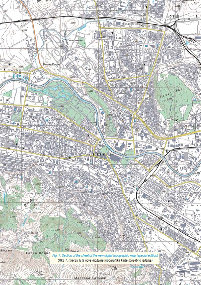
The basic aim of the National Spatial Data Infrastructure (NSDI) built in accordance with INSPIRE directive is to standardize spatial data infrastructure on national level. In that direction, topographic maps are a basic platform for acquiring spatial data within geoinformation systems and one of the most important segments of NSDI. This paper presents methodology of establishing the new digital topographic map of the Republic of Macedonia titled “State Base Map for GIS in Macedonia”. This paper analyzes geometrical accuracy of new digital topographic maps. Production of the new digital topographic map has been the most important cartographic project in the Republic of Macedonia since it became independent.
Keywords
NSDI; National Spatial Data Infrastructure; INSPIRE; sustainable development; digital topographic map; topographic data model; geometrical accuracy
Copyright (c) 2013 Zlatko Srbinoski

This work is licensed under a Creative Commons Attribution-ShareAlike 4.0 International License.
