Geological Map of the Republic of Croatia at the Scale 1:300 000
Abstract
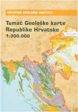
The Geological Map of the Republic of Croatia at the scale 1:300 000 is the first geological map displaying geological features of the Croatian territory in its entirety. The map and the accompanying Map Book were published in 2009 by the Croatian Geological Survey. The map’s content was compiled reusing data of the Basic Geological Map, scale 1:100 000, which was produced between 1962 and 1989. The map was finally completed by experts of the Department of Geology of the Croatian Geological Survey who were, as a rule, authors of individual sheets and map books of the Basic Geological Map. After the Basic Geological Map 1:100 000, it was the greatest and most significant piece of Croatian geologic cartography.
Copyright (c) 2013 Ivan Hećimović

This work is licensed under a Creative Commons Attribution-ShareAlike 4.0 International License.